

até
4x
de
R$ 156,04
sem juros
ou R$ 592,95
via Pix
Adicionar ao carrinho
Disponibilidade: 45 dias úteis
Estoque: 216 unidades
-
- 1x de R$ 624,16 sem juros
- 2x de R$ 312,08 sem juros
- 3x de R$ 208,05 sem juros
- 4x de R$ 156,04 sem juros
-
R$ 592,95

-
R$ 624,16


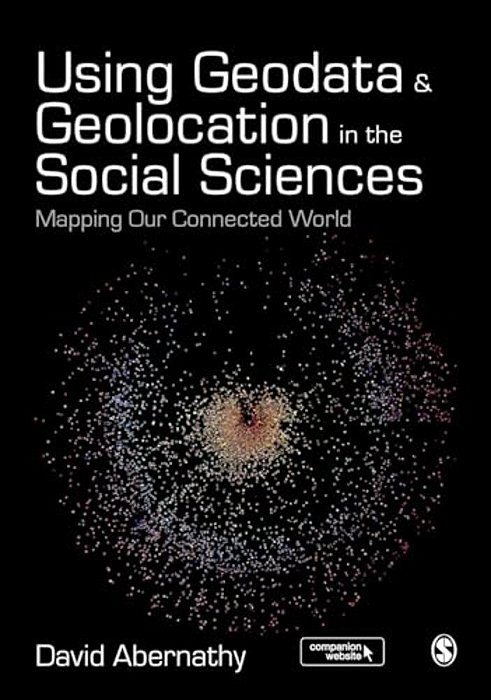
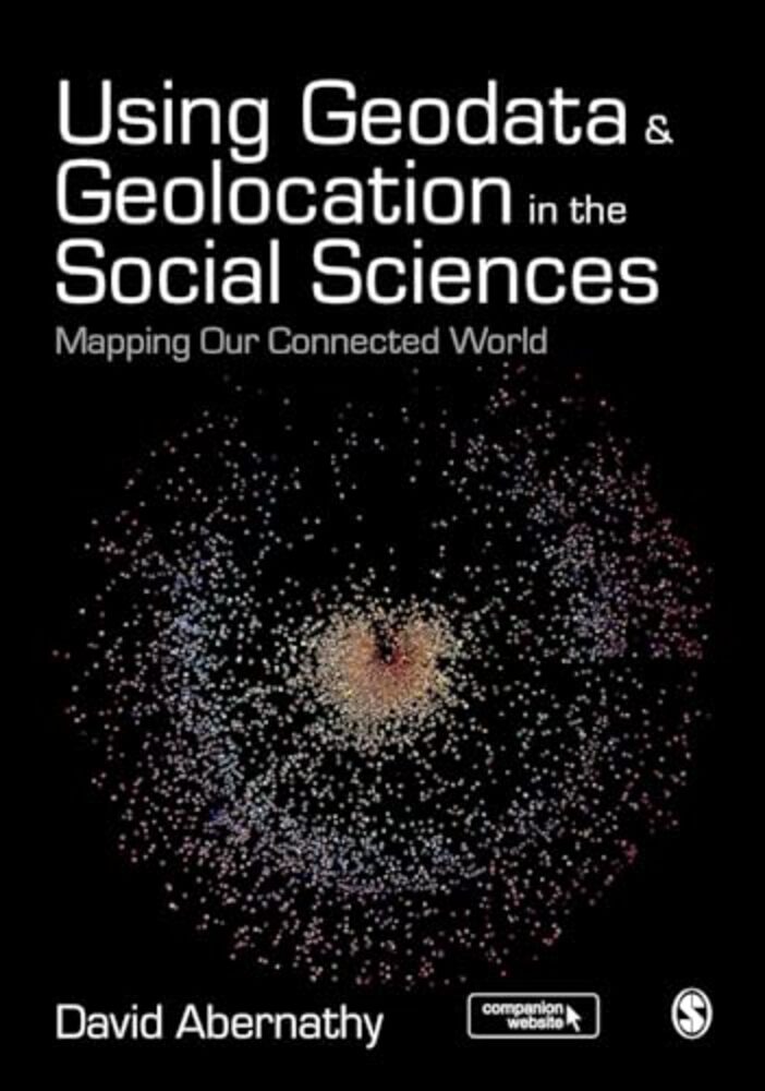
"Abernathy provides a truly accessible and interdisciplinary introduction to geodata and geolocation covering both the conceptual and the practical. It is a must read for students or researchers looking to make the most of the spatial elements of their data" - Luke Sloan, Senior Lecturer in Quantitative Methods, Cardiff University Using Geodata and Geolocation in the Social Sciences: Mapping our Connected World provides an engaging and accessible introduction to the Geoweb with clear, step-by-step guides for: Capturing Geodata from sources including GPS, sensor networks and Twitter Visualizing Geodata using programmes including QGIS, GRASS and R Featuring colour images, practical exercises walking you through using data sources, and a companion website packed with resources, this book is the perfect guide for students and teachers looking to incorporate location-based data into their social science research.
Produtos relacionados
-
 Museum Communication And Social Media: The Connected Museum-..
R$ 1.867,50R$ 1.494,00até 4x de R$ 373,50 sem jurosou R$ 1.419,30 via Pix20% Desconto -
 Museum Communication And Social Media: The Connected Museum-..
R$ 464,72R$ 371,78até 4x de R$ 92,94 sem jurosou R$ 353,19 via Pix20% Desconto -
 Mapping Social Relations: A Primer In Doing Institutional Ethnography-..
R$ 415,00R$ 332,00até 4x de R$ 83,00 sem jurosou R$ 315,40 via Pix20% Desconto -
 Mapping Mars: Science, Imagination, And The Birth Of A World-..
R$ 232,40R$ 185,92até 3x de R$ 61,97 sem jurosou R$ 176,62 via Pix20% Desconto
-

Categorias
Pague com
Selos

MYRE EDITORA, COMERCIALIZADORA, IMPORTADORA E DISTRIBUIDORA LTDA - CNPJ: 50.295.718/0001-20 © Todos os direitos reservados. 2026